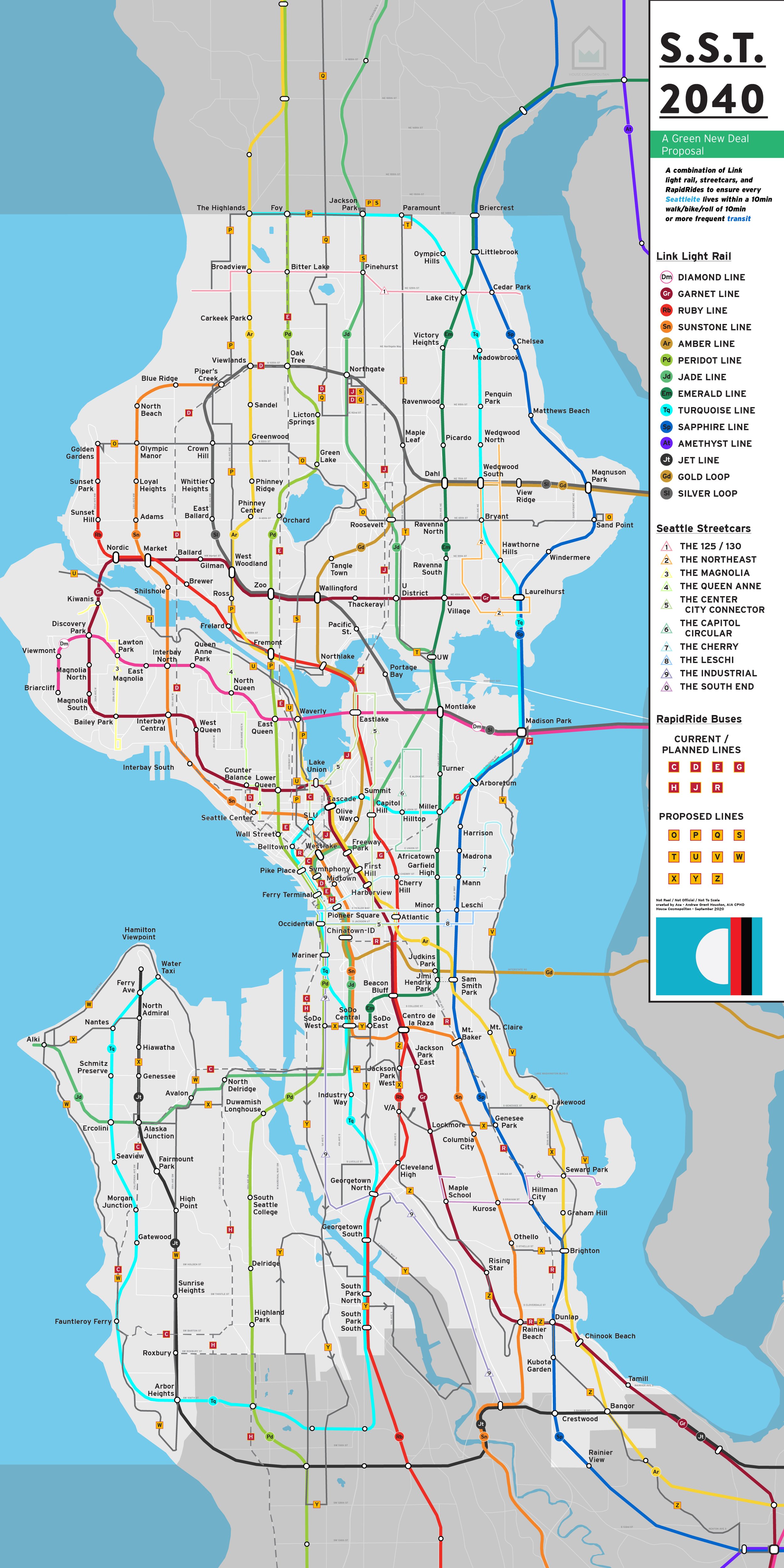
Sound Transit 2040 / SST 2040
This pandemic and climate crisis-inspired fantasy project was developed as a proposal to push access to transit alternatives for the communities serviced by Sound Transit as well as enhancing the options provided to the citizens of Seattle. There are two maps created: Sound Transit 2040 and SST 2040.
The Sustainable Seattle Transit 2040 map (seen right) is built around the following requirements:
Ensuring every Seattleite is within 10 minutes or .5 miles of some form of frequent transit
Building off of the 1 mile stops provided through the ST 2040 plan
Using streetcars to stitch together Link stations while also serving as a way to bring focus back on a road as a destination as opposed to one that would otherwise split neighborhoods in half
Using and building off the excellent bus system we have to provide unique cross-city connections and reach the furthest reaches of the city limits.
Longer article about this fantasy project can be found here.
PDFs and images of both the ST Complete and SST Map can be found here.
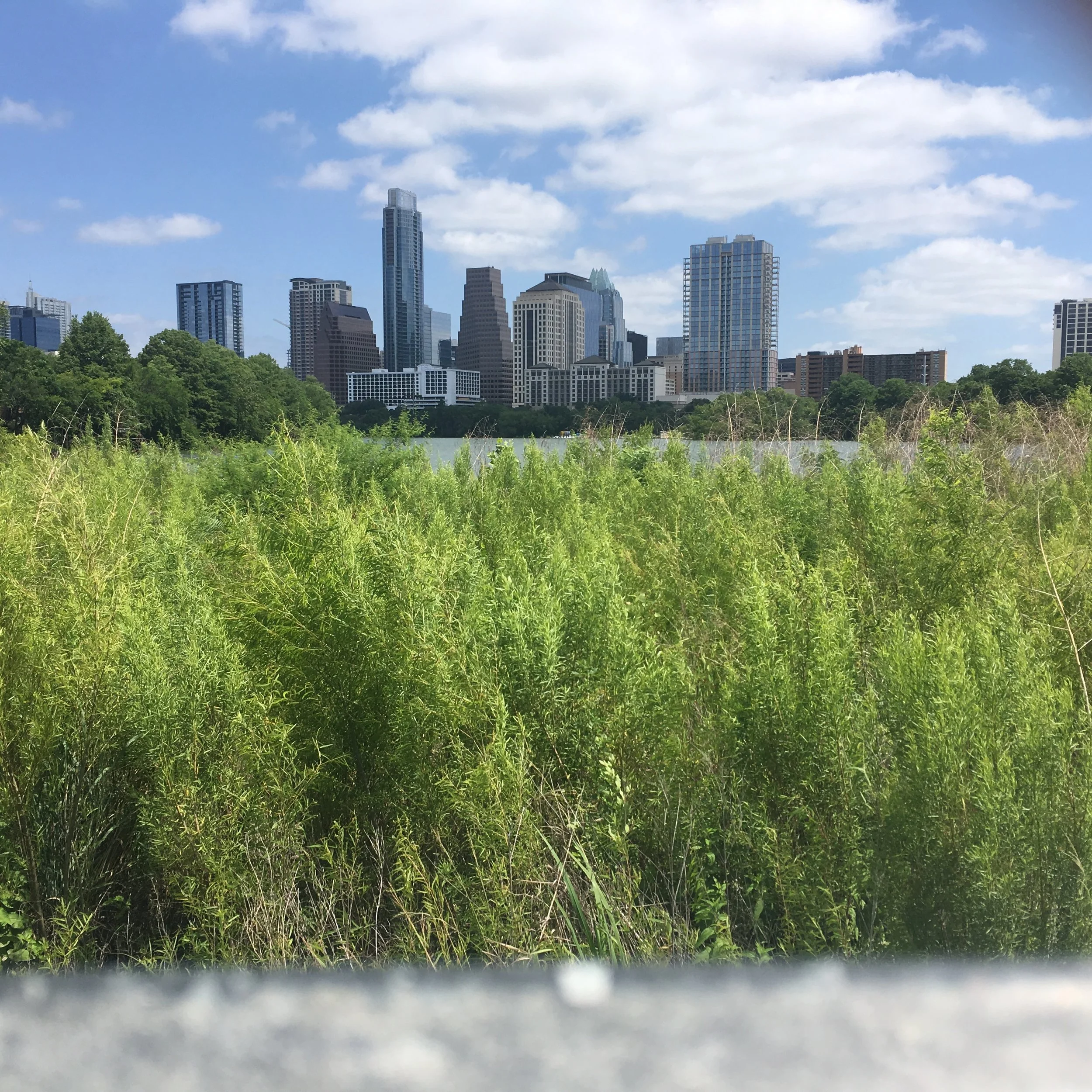
AusWAY

Austin is the largest city in the US that does not have a metro/rail system of any kind. Intended to spur conversation around a proposal for a subway system, the system shown was designed as a full build out of 100 miles of rail touching as many centers as possible.
Longer article about this fantasy project can be found here.

Geographically accurate version of the map.
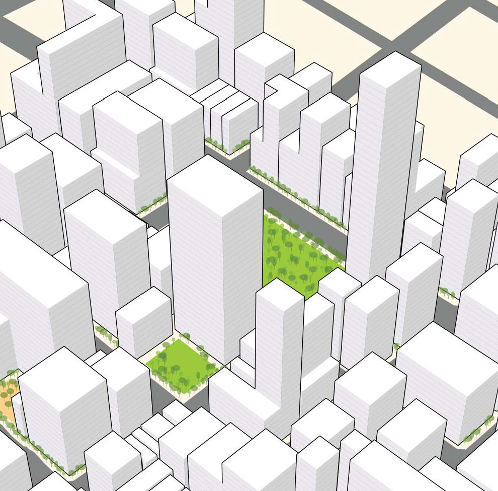
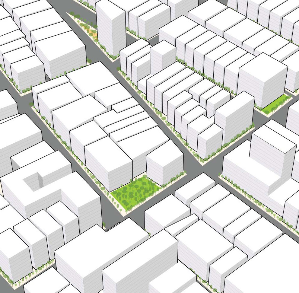
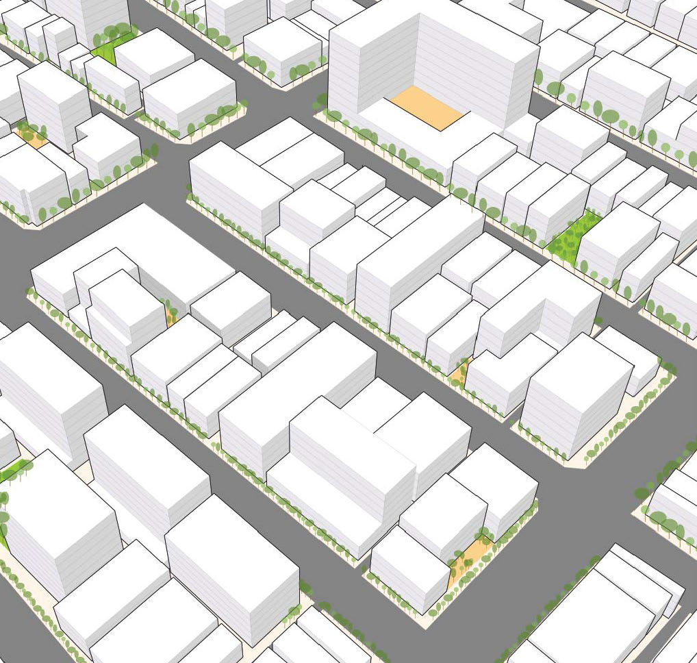
RE:CODE LA
The recode:LA project is a six-year, comprehensive rewrite of the zoning code for the entire city of Los Angeles, California. By creating images that explained the proposed rules as well as developing concept models of the downtown zoning districts, the diagrams shown marked potential buildout scenarios without being tied to any architectural style. In this manner, Angelenos are invited in to develop their own ideas as to the design and use of each building and dream about what can fit into each box.
Responsibilities: Graphic Design, Editing
(Work completed as a member of the land use consultancy, Code Studio)
AUSVEX

Ask someone from Austin to draw you the city’s flag and they will have a difficult time doing so. Ask a Chicagoan to do so for their city and they can do so effortlessly.
This design exercise was done to create a more distinct flag that spoke to the creative energy and eccentric style of Austin: the blue represents water and its importance to Austinites, the Violet Crown a nod to the city’s moniker “The Violet Crown City,” with six points representing the six flags that have flown over the capital.
SEAVEX

Seattle’s flag has been the subject of debate for quite a while; namely that it’s fine, but not great.
This design exercise was done to create a simpler version of the existing flag that also uses the traditional colors found in most Native art: white, red, and black. From right to left: the blue represents water Lake Washington, black and red representing the land of Seattle (an isthmus), and the white on blue representing the sun setting in the west along Elliott Bay.